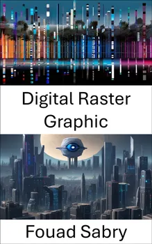
Digital Raster Graphic

What is Digital Raster Graphic

A digital raster graphic (DRG) is a digital image resulting from scanning a paper USGS topographic map for use on a computer. DRGs created by USGS are typically scanned at 250 dpi and saved as a TIFF. The raster image usually includes the original border information, referred to as the "map collar". The map file is UTM projected and georeferenced to the surface of the Earth. DRG's are regularly used in GIS applications. DRGs were first produced in 1995.

How you will benefit

(I) Insights, and validations about the following topics:

Chapter 1: Digital raster graphic

Chapter 2: Raster graphics

Chapter 3: File format (GIS)

Chapter 4: GeoTIFF

Chapter 5: Image file format

Chapter 6: GDAL

Chapter 7: Web mapping

Chapter 8: Bitmap

Chapter 9: United States Geological Survey

Chapter 10: Landmap

(II) Answering the public top questions about digital raster graphic.

(III) Real world examples for the usage of digital raster graphic in many fields.

Who this book is for

Professionals, undergraduate and graduate students, enthusiasts, hobbyists, and those who want to go beyond basic knowledge or information for any kind of Digital Raster Graphic.

Über dieses Buch

What is Digital Raster Graphic

A digital raster graphic (DRG) is a digital image resulting from scanning a paper USGS topographic map for use on a computer. DRGs created by USGS are typically scanned at 250 dpi and saved as a TIFF. The raster image usually includes the original border information, referred to as the "map collar". The map file is UTM projected and georeferenced to the surface of the Earth. DRG's are regularly used in GIS applications. DRGs were first produced in 1995.

How you will benefit

(I) Insights, and validations about the following topics:

Chapter 1: Digital raster graphic

Chapter 2: Raster graphics

Chapter 3: File format (GIS)

Chapter 4: GeoTIFF

Chapter 5: Image file format

Chapter 6: GDAL

Chapter 7: Web mapping

Chapter 8: Bitmap

Chapter 9: United States Geological Survey

Chapter 10: Landmap

(II) Answering the public top questions about digital raster graphic.

(III) Real world examples for the usage of digital raster graphic in many fields.

Who this book is for

Professionals, undergraduate and graduate students, enthusiasts, hobbyists, and those who want to go beyond basic knowledge or information for any kind of Digital Raster Graphic.

Starte noch heute mit diesem Buch für 0 €

  • Hole dir während der Testphase vollen Zugriff auf alle Bücher in der App
  • Keine Verpflichtungen, jederzeit kündbar
Jetzt kostenlos testen
Mehr als 52 000 Menschen haben Nextory im App Store und auf Google Play 5 Sterne gegeben.