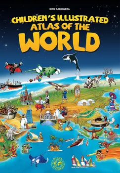
Dino’s Children's Illustrated Atlas of The World consists of approximately 1000 beautiful hand drawn illustrations.It offers an unique way to take your children on a magical journey around the world with a clear and practical overview of thousands of interesting facts. Introducing various countries and depicting the historical events, cities, monuments, wildlife, famous people... in short, all that ilustrates a particular region and country. The atlas also includes a descriptive text along with the title of each featured illustration. The Atlas of The World presents continents as follows: North America (single page), South America (single page), Europe (double page), Africa (single page), Australia & Pacific (single page).
Children's Illustrated Atlas of the World : Unique way to take your children on a magical journey around the world with a clear and practical overview of thousands of interesting facts.
Empieza hoy con este libro por 0 €
- Disfruta de acceso completo a todos los libros de la app durante el periodo de prueba
- Sin compromiso, cancela cuando quieras
Autor/a:
Idioma:
Inglés
Formato:

What's in Your Body? : Ready-to-Read Level 2
Ximena Hastings
book
Geo-Gráficos
Regina Giménez
book
Og Finds the Cog : Ready-to-Read Pre-Level 1
Ame Dyckman
book
Earth : Ready-to-Read Level 1
Marion Dane Bauer
book
Let's play with words… In the garden : The essential vocabulary
Ivan Esenko
book
Sabrina Sue Loves the Moon : Ready-to-Read Level 1
Priscilla Burris
book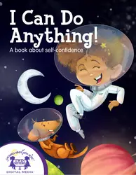
I Can Do Anything!
Kim Mitzo Thompson, Karen Mitzo Hilderbrand
book
Chiller Thriller!
Joe McGee
book
Amazing Me!
Kim Mitzo Thompson, Karen Mitzo Hilderbrand
book
English Picture Dictionary with Exercises
Matt Purland
book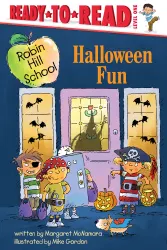
Halloween Fun : Ready-to-Read Level 1 (with audio recording)
Margaret McNamara
book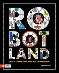
Robotland : Guía a través de la historia de los robots
Berta Páramo
book
